

Mapping the future of our planet
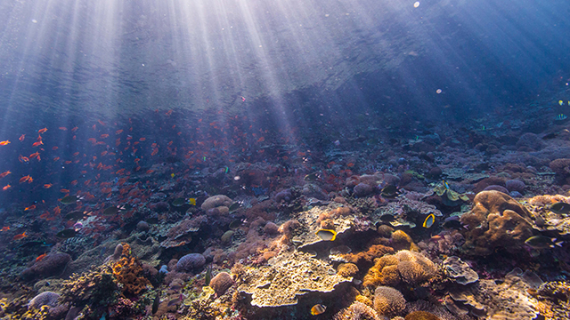
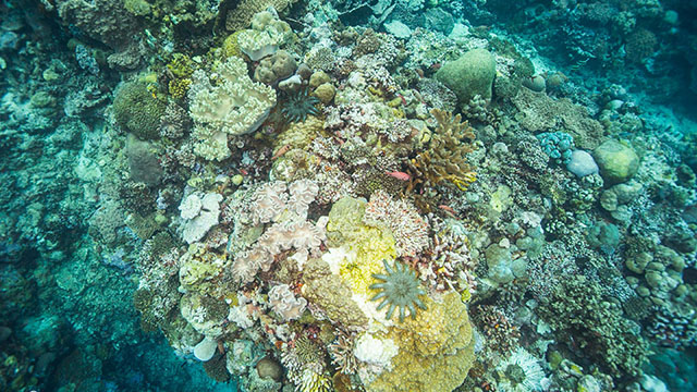
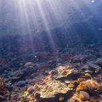
We now have the ability to find water on Mars, but the scientific community still uses such rudimentary techniques as tape measures to study our own coral reefs. With climate change threatening the Earth’s coral reefs, scientists need a more systematic way to observe these endangered species.
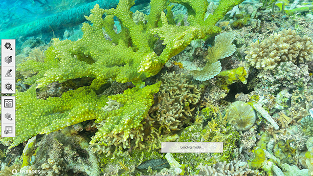
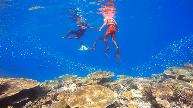
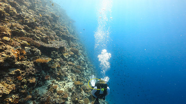
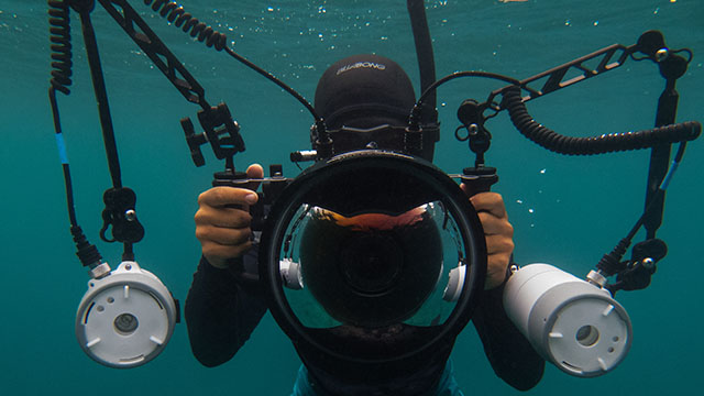
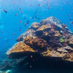
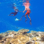
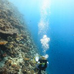
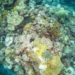
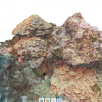
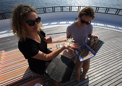
Enter The Hydrous, which has mapped coral reefs in Palau, Saipan, Guam, Indonesia and Hawaii – and is now focused on the Maldives. Using underwater cameras, teams of divers photograph the reefs from every angle. These images are then fed into 3D modeling software to produce high-resolution, interactive visuals that help scientists get more exact measurements of the size and shape of each reef over time.
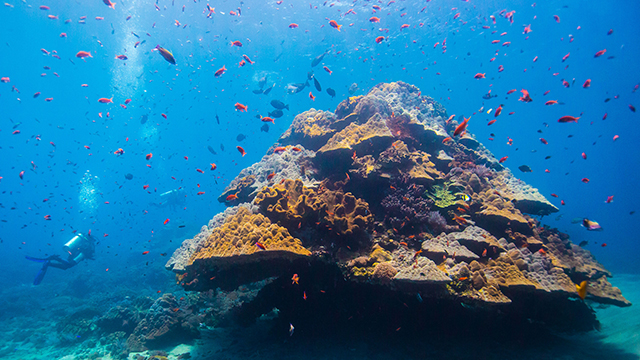
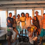
With this knowledge, scientists can observe the corals’ growth rate. And along with artists, entrepreneurs, local citizen scientists, and local educators, these scientists can then push for environmental safeguards that improve the reefs’ resilience. By opening access to our oceans, The Hydrous is helping to make a massive impact on a world that depends on these life-sustaining waters.
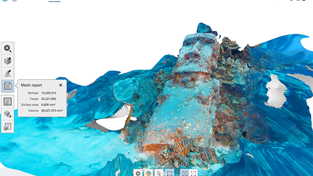

How to digitize the bottom of the ocean
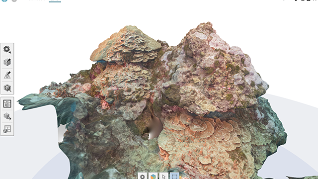
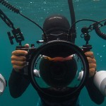
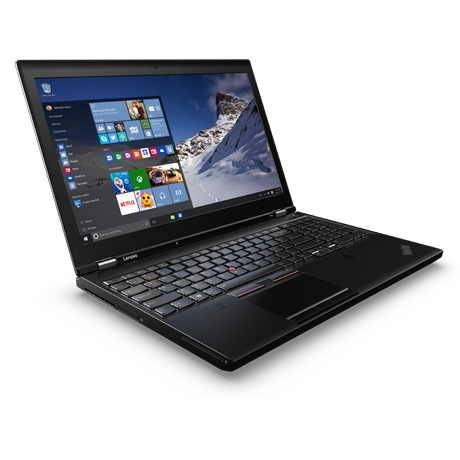
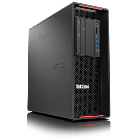
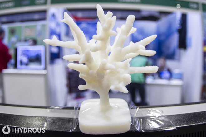
Although even smartphones can be used to take coral reef photos (in reality, The Hydrous teams use much more sophisticated cameras), the software needed to develop the 3D visuals has to be some of the most powerful on the planet. Digitizing millions of data points, Autodesk ReMake creates these models, which can then be transformed into lifelike 3D printed objects. Making sure the Autodesk and Adobe Suites run without delay anywhere in the world, The Hydrous designers use the ThinkStation P510 and ThinkPad P50.
"In a few years, we will have all of the oceans mapped. It’s going to happen because of citizen scientists, democratization of technology, and human-centered design."
Check out The Hydrous team's equipment: ThinkPad P50 and ThinkStation P510
Latest Blog Updates
A Dive of Discovery and Rescue: The Maldives Expedition Known as the jewel of the Indian Ocean, the Maldives is breathtaking in its natural beauty. But as the country with the world’s lowest ground-level elevation – on average only 1.5 meters above sea level – the Maldives faces a …
Two Events. Countless Impacts on Climate Change. In April, the team at The Hydrous took off for England and Singapore to spread awareness about coral conservation and their 3D mapping capabilities. Sly Lee, The Hydrous’ Founder and President, made his way to Oxford, England to attend the …